

 |
 |
 |
 |
 |
 |
 |
 |
 |
|
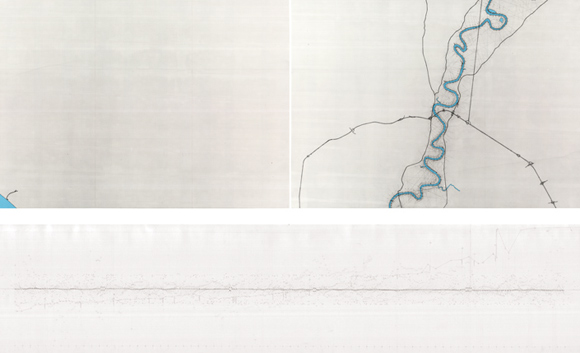
DA ROMA AL MARE/FROM ROME TO THE SEA "To describe space: to name it, to trace it. Like those portolano-makers who saturated the coastlines with the names of harbours, the names of capes, the names of inlets, until in the end the land was only separated from the sea by a continuous ribbon of text." Da Roma al Mare is a study of the Tiber River. Essentially an urban investigation, it stems from an interest in the contemporary positions expressed by cities toward their waterways. But the project is also an exploration into the language of mapping practices, mapping as both abstraction and intervention. It is a reading of landscape, infrastructure, and imperial networks. And it is an analysis of the meaning of navigation, the description of a trajectory to be understood in space, time, and direction. The 396-kilometer course of the Tiber River is the scope of the project, from its source in Emilia-Romagna to its confluence with the Tyrrhenian, focusing on its urban course from Rome to the antique port of Ostia and the sea. It is also the scientifically precise navigational chart of Aeneas, a plotting of his course from the mouth of the Tiber to the site of the new empire. Da Roma al Mare is a meditation on drawing, on landscape, on infrastructure. It evolves from a fascination with human intervention in the landscape, a reading of imprints, expressed by a civilization undertaking a journey from the mountains to the city to the vastness of the sea.
|

